It may not be breaking news, but it bears repeating: the 2017 hurricane season was one for the record books.
Between Harvey's record flooding in Houston, and the twin devastation brought to the Caribbean and Florida by Irma and Maria, the damage was widespread. And island countries like Puerto Rico are still repairing and rebuilding. A few of these storms reached even beyond the uppermost Category 5 limit of storm strength. It makes sense that after such a record-breaking year, researchers would be eager to analyze it as a whole.
And thanks to footage from NASA satellites, they can. And so can we.
Natural power
Hurricane Irma near Puerto Rico. (Getty Embed)
A hurricane brings monstrous power, but above all, it is a force of nature. And like all natural processes, there is a method to its creation. It starts from a meeting of heat, open water, and vapour. Where it goes from there depends on so many things.
The winds. The water currents. The weather. Subtle changes in any of these things can become the difference between a little rain and a giant storm.
Watch them form
Hurricane Harvey brought record flooding in Houston, Texas. (Getty Embed)
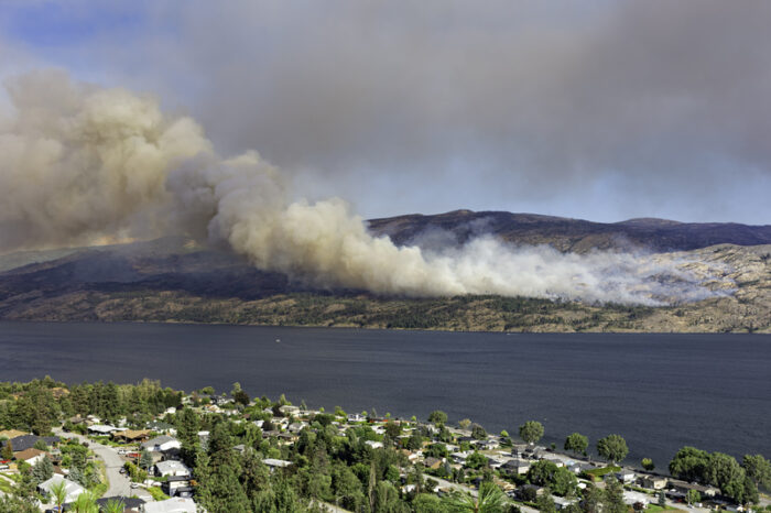
That's what this hurricane season video shows. Beginning in August and ending in November, the time-lapse lets you observe the Atlantic's swirling masses of clouds as they make their journey towards becoming storms. (Or not.) It also shows how sea salt is carried by winds, as well as smoke from forest fires (watch the western United States and Canada), and desert sand from the Sahara.
All put together, you can see the storms that form and then fall apart before reaching land. As well as the ones that push themselves onto shore.
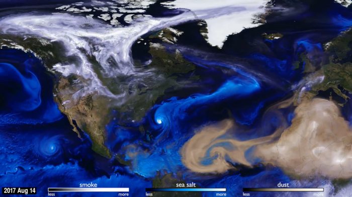 We watched this video over and over and kept seeing new things. Weather systems are incredibly complex. (Screenshot M.R. Radcliff USRA, et al., NASA GSFC, SVS)


Fascinating series of the power of nature! Thank you.