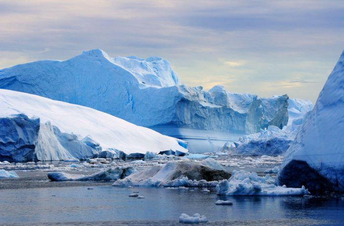
 What's under Greenland's ice? Researchers are finding out. (Photo
 As the climate changes, one of the places facing the most future change is Greenland. Right now, the world's largest island* is almost entirely covered by a heavy, mile-thick ice sheet. But as temperatures rise, that ice is steadily melting. Though this process would take decades (that is a lot of ice), there is a chance that most of the ice sheet will eventually melt away.
This leads to an interesting question: just what does Greenland even look like without all of that ice? A new study is giving us a clue. They have found a buried lakebed that dates back at least hundreds of thousands of years, and could even be many millions of years old.
Operation IceBridge
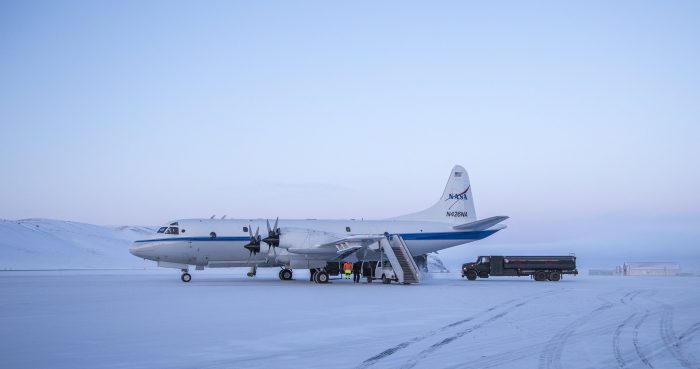
One of the planes used in Operation Icebridge. (NASA)
How do you find an ancient Greenland lake under all of that ice? The key is a NASA project called Operation Icebridge. Since 2003, it has used airplanes and satellites to scan the ice found at both poles, especially Greenland and Antarctica.
Icebridge uses a complex mix of radar (to 'see' through ice and water), gravimeters (measuring intensity of gravity), and altimeters (measuring the height of a surface). The aim is to understand how thick the ice is at the poles, and how much it is changing from year to year.
But in addition to measuring the ice sheet itself, it allows scientists to see what is beneath all of that ice, too. Et voilà, there's an ancient Greenland lake!
Lake from the past
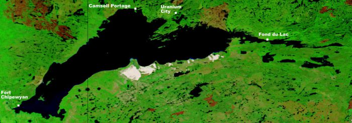
The lake would've been a little smaller than Lake Athabasca, the eighth largest in Canada. (Wikimedia Commons/NASA)
So what do they know about this lake? It is found about 1.8 kilometers (1.1 miles) below the ice and is over 7,100 square km (2,700 square miles), which is just smaller than Lake Athabasca in northern Saskatchewan. Scientist also located streams and rivers that would have flowed in and out of the lake.
Of course, these are all 'beds'—lakebeds, streambeds, riverbeds—the ground that would've been underneath these ancient bodies of water. Today, these things are all filled with ice. But if and when that ice does melt? The sediment, or layers of deposited soil, would be exposed for geologists to explore for clues about life in prehistoric Greenland.
Until then, Icebridge will at least allow researchers to continue to reconstruct what Greenland once looked like in the past. As well as what it may look like again in the future.
*Fun fact: According to the Encyclopedia Britannica, because both Australia and Antarctica are continents, they are too large to be considered islands. That's why Greenland takes the top prize!