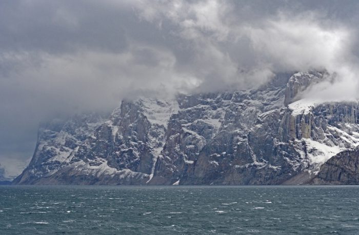
 Baffin Island is Canada's largest island and the fifth largest in the world. It is bigger than many island nations, including England and Japan. (© Steven Prorak - Dreamstime.com)
The Canadian Arctic is vast and ancient.
40% of the country is in the Arctic — home to enormous islands like Ellesmere, Banks, Victoria, and Axel Heiberg.
Even in the age of super satellites and hi-tech gadgetry, secrets are hidden everywhere there — all encased within ice, rock, and permafrost. Hidden, but not impossible to discover.
Case in point, evidence of a long lost continent has been found on Baffin Island. How long lost? Called cratons, these were the first land masses on Earth!
Baffling Baffin
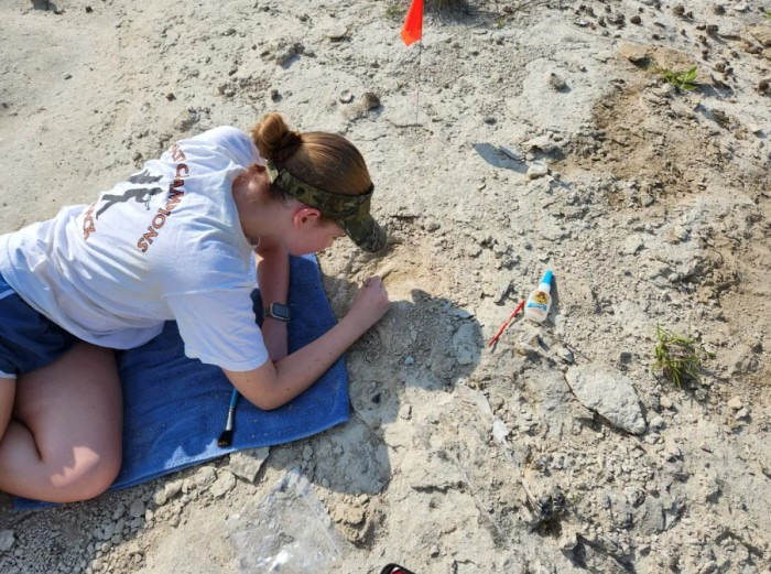
The incredible discovery took some work to find. Specifically, a lot of deep digging. The Baffin Island sample came from about 400 kilometres (250 miles) below the surface!
That's quite a distance to dig, but it speaks to how ancient this lost continent truly is. Dating back to Precambrian times (between 4.6 billion and 541 million years ago), this sample is leading researchers to claim that the rock deep underneath Baffin Island used to be a part of the North Atlantic Craton before it broke apart into many smaller land masses.
And how do they know this?
Kimberlite.
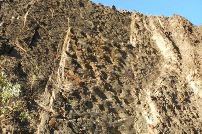
The key is kimberlite
As an ancient volcanic rock, kimberlite is rich in diamonds and mined around the world. (Getty Embed)
Kimberlite is a volcanic rock, and it is a key part of the 'signature' (or chemical makeup) of these cratons. In this case, the kimberlite found under Baffin Island matches the stuff found in Greenland and Scotland — places that also used to be a part of the North Atlantic Craton.
This means that at some point billions of years ago, these land masses were all together as one large formation. Thanks to this discovery, scientists can now make the connection that the North Atlantic Craton was about 10% larger than first assumed.
Deep knowledge
The Canadian Shield covers much of the interior of Canada and part of the northern United States. (Green slash/Wikimedia Commons)
This recent discovery was made accidentally by a mining company (places in Arctic Canada like Baffin Island are rich in mineral deposits). They then brought it to the attention of scientists. This is a really wonderful accident, and proof of how challenging it can be to discover the truth of our planet's ancient origins. But not all our knowledge of cratons comes from such deep digging.
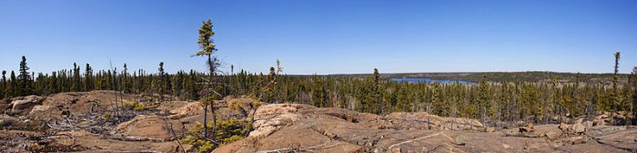
In fact, you can walk on cratons right now! Canada is home to one of the largest areas of exposed Precambrian rock in the world. It is called the Canadian Shield. This enormous slab of igneous rock covers 8,000,000 square kilometres and was once a part of the North American Craton.
Of course, when we do dig underground, new secrets emerge. For a time, Baffin Island was also considered a part of the North American Craton. Now this new discovery challenges that. Which brings up the question: what did the Earth really look like 2 billion years ago?
Sounds like we'd better keep digging!

i thought reading this article was very interesting and fun to read. i learned a lot about the island and other cool facts. i loved reading the part of the article that was called baffling Baffin, because it told me about how deep they had to dig to find it. they included all the specific kilometers and miles. i learned a lot from this article and i liked it.
I really liked the Baffin Bay part.Thanks OWL!???
this was a cool article 😎 😎 😎 😎 😎 😎 😎 😎 😎
A continent under Baffin Bay, cool!
so cool i love the island 😉 😀 😀 😀
I thought it is very awesome thanks owl keep updating!!!! 😎